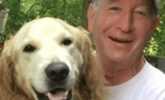
Doug Levin, Ph.D, has over 40 years of experience mapping globally dispersed seafloors with a myriad of technologies. His project experience spans oil seep detection off of Cartagena, SA, Lease Block Hazard Surveys, pipeline and fiber optic cable route selections in the Gulf of Mexico, the Aleutian Islands, and the Mediterranean, shipwreck imaging in Thunder Bay, Cortez’s treasure in Veracruz, and searching for evidence of Noah’s deluge in the Black Sea.
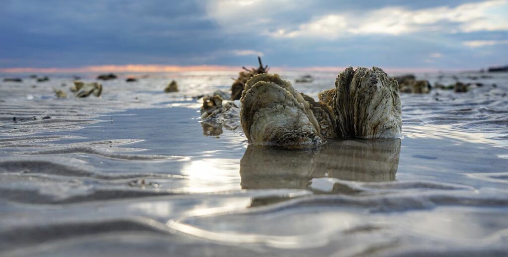
He was the first to use sonar to find and ghost crab pots in the Chesapeake Bay and to use sonar to evaluate Bay bottom for suitable oyster habitat and map natural oyster reefs in order to emulate them in restored habitat. He directs the Watershed Innovation Lab at Washington College where he creates affordable water quality observation systems for freshwater, estuarine, nearshore, coastal marine systems that transmit data for open-source educational and private use.
Doug lives on the Choptank River in Preston, Maryland where he enjoys kayaking, fishing, woodworking, and a good glass of scotch., nearshore, coastal marine systems that transmit data for open source educational and private use.
